Mississippi Delta
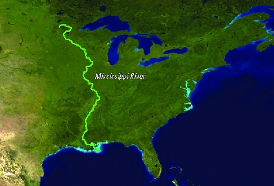
The Mississippi River drains a basin of some 3 million km2, which encompasses a substantial part of the United States of America. The basin extends from the Rocky Mountains in the West, to Canada in the North and the Appalachian Mountains in the East. The discharge of the Mississippi accounts for 90% of the freshwater inflow into the Gulf of Mexico. The Mississippi Delta region comprises much of coastal Louisiana and adjacent Mississippi, and includes the metropolitan area of New Orleans.
 |
The delta complex contains major river channels and levees, numerous bayous, swamps and marshes, lakes, tidal flats and channels, barrier islands, and shallow sea environments. Old abandoned distributary ridges of the river are the only land that is one meter or more above sea level. The land between these ridges are low, flat expanses of wetlands that are highly productive of fish and wildlife. The area of the delta is about 25,000 km2, including 5000 km2 of wetlands and 5,000 km2 of shallow inshore water bodies. |
Water chemistry in the delta grades from fresh to brackish to marine. The Delta is populated by more than a million inhabitants, of which some 500.000 are living in the city of New Orleans. The Mississippi Delta is among the poorest regions of the USA.
Source: Prof. dr. H. de Vriend, Deltares (Delft, January 11, 2009), Towards sustainable development of deltas: Aquaterra research on trends and responses.
Image Source: U.S. Geological Survey
General characteristics
- Continent: North-America
- Location: 28°52’N, 88°14’W
- Basin of deposition: Gulf of Mexico
- Delta area (km2): 28568
- Number of river mouths: 22
- Spring Tide (m): 0.43
- Major Cities: New Orleans
- Basin area (10^3 km2): 3226.3
- River length (km): 6211
- Average rainfall (mm/y): 688
- Maximum rainfall (mm/y): 1532
- Minimum rainfall (mm/y): 169
- Annual average discharge (m3/s): 17704
- Maximum discharge (m3/s): 28161
- Minimum discharge (m3/s): 9579